
Buckeye topographic map
Click on the map to display elevation.
About this map
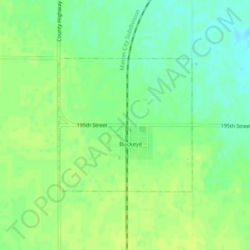
Name: Buckeye topographic map, elevation, terrain.
Location: Buckeye, Hardin County, Iowa, 50043, United States (42.41232 -93.38560 42.42673 -93.36606)
Average elevation: 1,158 ft
Minimum elevation: 1,129 ft
Maximum elevation: 1,178 ft
Hardin County trails, hiking, mountain biking, running and outdoor activities
Other topographic maps
Click on a map to view its topography, its elevation and its terrain.