
Make a donation
Gear up for your next adventure:
As an Amazon Associate, this site earns from qualifying purchases at no extra cost to you.
Leisele topographic map
Click on the map to display elevation.
Make a donation
Gear up for your next adventure:
As an Amazon Associate, this site earns from qualifying purchases at no extra cost to you.
Leisele
Leisele ligt in Zandlemig Vlaanderen op een hoogte van ongeveer 10 meter. In het westen ligt de Belgisch-Franse grens. Het is een rustig landbouwdorp.
Make a donation
Gear up for your next adventure:
As an Amazon Associate, this site earns from qualifying purchases at no extra cost to you.
About this map
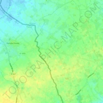
Name: Leisele topographic map, elevation, terrain.
Location: Leisele, Alveringem, Veurne, West-Vlaanderen, Vlaanderen, België (50.94574 2.60671 51.00618 2.66573)
Average elevation: 33 ft
Minimum elevation: -10 ft
Maximum elevation: 69 ft
Make a donation
Gear up for your next adventure:
As an Amazon Associate, this site earns from qualifying purchases at no extra cost to you.