
大杨先务村 topographic map
Interactive map
Click on the map to display elevation.
About this map
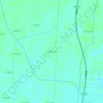
Name: 大杨先务村 topographic map, elevation, terrain.
Location: 大杨先务村, 廊坊市, 河北省, 中国 (39.41647 116.16019 39.45647 116.20019)
Average elevation: 85 ft
Minimum elevation: 75 ft
Maximum elevation: 95 ft
Other topographic maps
Click on a map to view its topography, its elevation and its terrain.