Geolocate

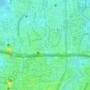
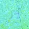
Cililitan topographic map

Click on the map to display elevation.

About this map
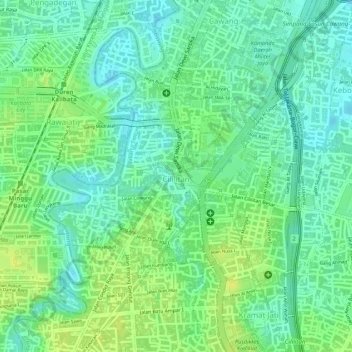
Name: Cililitan topographic map, elevation, terrain.

Location: Cililitan, Kramat Jati, East Jakarta, Special Capital Region of Jakarta, 13640, Indonesia (-6.26914 106.85395 -6.25539 106.87324)

Average elevation: 89 ft

Minimum elevation: 56 ft

Maximum elevation: 121 ft

Other topographic maps

Click on a map to view its topography, its elevation and its terrain.
Gear up for your next adventure:

🌲Outdoor Survival Books - Best books on survival skills
👖Convertible Hiking Pants - Versatile zip-off pants for changing altitudes and temperatures
🎒Day Hiking Backpack - Lightweight backpack perfect for day trips and outdoor adventures
🧤Hiking Gloves - Protective gloves for rugged trails
🪶Fire Starter Kit - Reliable fire starter for survival and camping

As an Amazon Associate, this site earns from qualifying purchases at no extra cost to you.