Geolocate

Schnelldorf topographic map

Click on the map to display elevation.

About this map
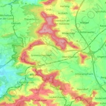
Name: Schnelldorf topographic map, elevation, terrain.

Location: Schnelldorf, Ansbach (district), Bavaria, 91625, Germany (49.15552 10.11984 49.25091 10.25295)

Average elevation: 1,565 ft

Minimum elevation: 1,391 ft

Maximum elevation: 1,821 ft

Other topographic maps

Click on a map to view its topography, its elevation and its terrain.

Eyerlohe

Germany > Bavaria > Ansbach (district)

Average elevation: 1,417 ft

Gear up for your next adventure:

📱Heavy-Duty Phone Cases - Drop-proof and waterproof protection for outdoor navigation
📦Gear Storage Bags - Organize and protect outdoor equipment
🧥Waterproof Jacket for Hiking - Breathable and rugged rain jacket for outdoor excursions
📦Dry Bags Set - Waterproof storage for electronics and clothes
🏕️Tent Footprint - Protect your tent base from wear

As an Amazon Associate, this site earns from qualifying purchases at no extra cost to you.