
Wilkins Run topographic map
Click on the map to display elevation.
About this map
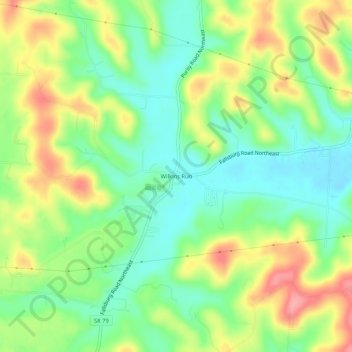
Name: Wilkins Run topographic map, elevation, terrain.
Average elevation: 984 ft
Minimum elevation: 850 ft
Maximum elevation: 1,175 ft
Licking County trails, hiking, mountain biking, running and outdoor activities
Other topographic maps
Click on a map to view its topography, its elevation and its terrain.
Infirmary Mound Park
United States > Ohio > Licking County > Granville > Union Station
Average elevation: 1,017 ft