
Thank you for supporting this site ❤️
Make a donation
Make a donation
Gear up for your next adventure:
As an Amazon Associate, this site earns from qualifying purchases at no extra cost to you.
Alğa topographic map
Click on the map to display elevation.
Thank you for supporting this site ❤️
Make a donation
Make a donation
Gear up for your next adventure:
As an Amazon Associate, this site earns from qualifying purchases at no extra cost to you.
About this map
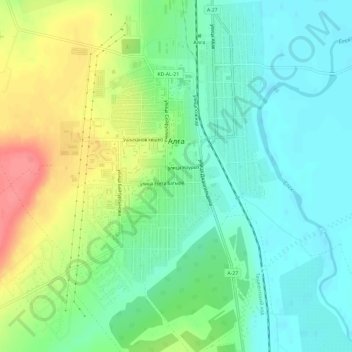
Name: Alğa topographic map, elevation, terrain.
Location: Alğa, Alğa district, Aqtöbe region, Kazakhstan (49.87313 57.29942 49.91171 57.34721)
Average elevation: 863 ft
Minimum elevation: 778 ft
Maximum elevation: 1,020 ft
Thank you for supporting this site ❤️
Make a donation
Make a donation
Gear up for your next adventure:
As an Amazon Associate, this site earns from qualifying purchases at no extra cost to you.