
Thank you for supporting this site ❤️
Make a donation
Make a donation
Gear up for your next adventure:
As an Amazon Associate, this site earns from qualifying purchases at no extra cost to you.
Belfountain topographic map
Click on the map to display elevation.
Thank you for supporting this site ❤️
Make a donation
Make a donation
Gear up for your next adventure:
As an Amazon Associate, this site earns from qualifying purchases at no extra cost to you.
About this map
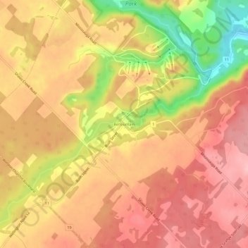
Name: Belfountain topographic map, elevation, terrain.
Location: Belfountain, Caledon, Peel Region, Ontario, L7K 0E7, Canada (43.77417 -80.03427 43.81417 -79.99427)
Average elevation: 1,289 ft
Minimum elevation: 978 ft
Maximum elevation: 1,453 ft
Thank you for supporting this site ❤️
Make a donation
Make a donation
Gear up for your next adventure:
As an Amazon Associate, this site earns from qualifying purchases at no extra cost to you.