Geolocate

Ambato topographic map

Click on the map to display elevation.

About this map

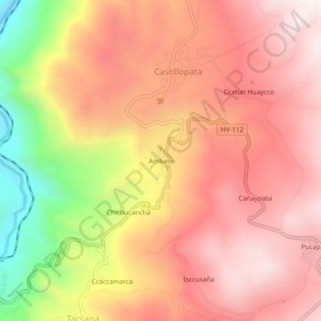
Name: Ambato topographic map, elevation, terrain.

Location: Ambato, Castillopata, Yauli, Huancavelica, Perú (-12.76896 -74.84506 -12.72896 -74.80506)

Average elevation: 12,507 ft

Minimum elevation: 10,840 ft

Maximum elevation: 13,432 ft

Gear up for your next adventure:

🪶Camping Sleeping Pad - Comfortable sleeping pad for backpacking
🔌USB Car Charger - Car charger for on‑the‑go power needs
🔥Fast-Boil Camping Stoves - Efficient cooking systems for quick trail meals
📶Satellite Messenger - Communication device off‑grid
🧢Sun Protection Hats - Wide-brimmed and UPF-rated hats for high-altitude sun safety

As an Amazon Associate, this site earns from qualifying purchases at no extra cost to you.