
Sheldon topographic map
Click on the map to display elevation.
About this map
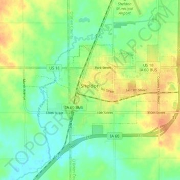
Name: Sheldon topographic map, elevation, terrain.
Location: Sheldon, O'Brien County, Iowa, United States (43.16405 -95.88193 43.19335 -95.80217)
Average elevation: 1,404 ft
Minimum elevation: 1,348 ft
Maximum elevation: 1,473 ft
O'Brien County trails, hiking, mountain biking, running and outdoor activities
Other topographic maps
Click on a map to view its topography, its elevation and its terrain.