
Thank you for supporting this site ❤️
Make a donation
Make a donation
Gear up for your next adventure:
As an Amazon Associate, this site earns from qualifying purchases at no extra cost to you.
Carron topographic map
Click on the map to display elevation.
Thank you for supporting this site ❤️
Make a donation
Make a donation
Gear up for your next adventure:
As an Amazon Associate, this site earns from qualifying purchases at no extra cost to you.
About this map
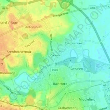
Name: Carron topographic map, elevation, terrain.
Location: Carron, Falkirk, Scotland, FK2 8DS, United Kingdom (56.00457 -3.81294 56.04457 -3.77294)
Average elevation: 52 ft
Minimum elevation: 7 ft
Maximum elevation: 121 ft
Thank you for supporting this site ❤️
Make a donation
Make a donation
Gear up for your next adventure:
As an Amazon Associate, this site earns from qualifying purchases at no extra cost to you.