
Thank you for supporting this site ❤️
Make a donation
Make a donation
Gear up for your next adventure:
As an Amazon Associate, this site earns from qualifying purchases at no extra cost to you.
Izvor topographic map
Click on the map to display elevation.
Thank you for supporting this site ❤️
Make a donation
Make a donation
Gear up for your next adventure:
As an Amazon Associate, this site earns from qualifying purchases at no extra cost to you.
About this map
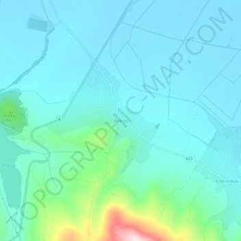
Name: Izvor topographic map, elevation, terrain.
Location: Izvor, Radomir, Pernik, 2415, Bulgaria (42.41291 22.87701 42.45291 22.91701)
Average elevation: 2,274 ft
Minimum elevation: 2,083 ft
Maximum elevation: 3,304 ft
Thank you for supporting this site ❤️
Make a donation
Make a donation
Gear up for your next adventure:
As an Amazon Associate, this site earns from qualifying purchases at no extra cost to you.