Geolocate

Bourke topographic map

Click on the map to display elevation.

About this map
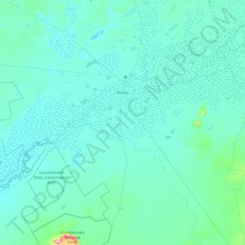
Name: Bourke topographic map, elevation, terrain.

Location: Bourke, Bourke Shire Council, New South Wales, 2840, Australia (-30.54229 145.51414 -29.84220 146.47136)

Average elevation: 384 ft

Minimum elevation: 315 ft

Maximum elevation: 1,562 ft

Other topographic maps

Click on a map to view its topography, its elevation and its terrain.

Gear up for your next adventure:

🧭Outdoor Navigation Book - Learn advanced navigation skills
🧷Carabiner Set - Durable clips for gear attachment
🔌USB Car Charger - Car charger for on‑the‑go power needs
🚑Emergency Bivvies - Heat-reflective sleeping bags for survival situations
🔋Solar Power Banks - Keep your GPS and phone charged in remote wilderness areas

As an Amazon Associate, this site earns from qualifying purchases at no extra cost to you.