Geolocate

Garibaldi topographic map

Click on the map to display elevation.

About this map

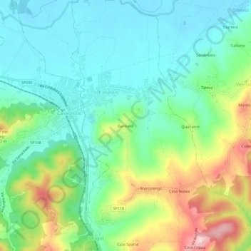
Name: Garibaldi topographic map, elevation, terrain.

Location: Garibaldi, Brusasco, Torino, Piemonte, Italia (45.13007 8.04420 45.17007 8.08420)

Average elevation: 735 ft

Minimum elevation: 495 ft

Maximum elevation: 1,276 ft

Gear up for your next adventure:

🧴Hand Sanitizer - Keep hands clean while hiking
🧭Hiking Compass - Precision compass for reliable navigation in the wilderness
Solar GPS Watches - Advanced multisport watches with built-in topographic maps
🔪Outdoor Multitools - Essential survival tools for gear repair and field use
🥾Women's Hiking Boots - Top-rated trail boots with ankle support and superior grip

As an Amazon Associate, this site earns from qualifying purchases at no extra cost to you.