
Nieuwland topographic map
Interactive map
Click on the map to display elevation.
About this map
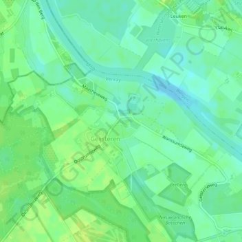
Name: Nieuwland topographic map, elevation, terrain.
Location: Nieuwland, Venray, Limburg, Nederland, 5862AG, Nederland (51.55230 6.05278 51.55278 6.05299)
Average elevation: 52 ft
Minimum elevation: 30 ft
Maximum elevation: 79 ft
Other topographic maps
Click on a map to view its topography, its elevation and its terrain.
Landgoed Geysteren
Landgoed Geysteren, De Zomp, Oostrum, Venray, Limburg, Nederland, 5807EB, Nederland
Average elevation: 66 ft