
Sloot topographic map
Interactive map
Click on the map to display elevation.
About this map
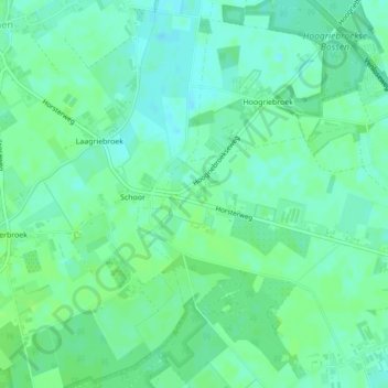
Name: Sloot topographic map, elevation, terrain.
Location: Sloot, Venray, Limburg, Nederland (51.49580 6.00160 51.49695 6.00274)
Average elevation: 89 ft
Minimum elevation: 72 ft
Maximum elevation: 102 ft
Other topographic maps
Click on a map to view its topography, its elevation and its terrain.
Landgoed Geysteren
Landgoed Geysteren, De Zomp, Oostrum, Venray, Limburg, Nederland, 5807EB, Nederland
Average elevation: 66 ft