
Thank you for supporting this site ❤️
Make a donation
Make a donation
Gear up for your next adventure:
As an Amazon Associate, this site earns from qualifying purchases at no extra cost to you.
Chachar topographic map
Click on the map to display elevation.
Thank you for supporting this site ❤️
Make a donation
Make a donation
Gear up for your next adventure:
As an Amazon Associate, this site earns from qualifying purchases at no extra cost to you.
About this map
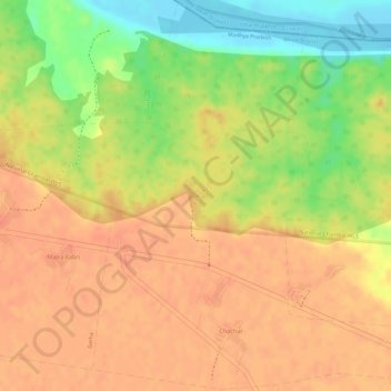
Name: Chachar topographic map, elevation, terrain.
Location: Chachar, Ater Tahsil, Bhind District, Madhya Pradesh, India (26.67278 78.86282 26.69950 78.88730)
Average elevation: 456 ft
Minimum elevation: 348 ft
Maximum elevation: 505 ft
Thank you for supporting this site ❤️
Make a donation
Make a donation
Gear up for your next adventure:
As an Amazon Associate, this site earns from qualifying purchases at no extra cost to you.