
Quissett topographic map
Click on the map to display elevation.
About this map
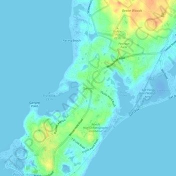
Name: Quissett topographic map, elevation, terrain.
Average elevation: 20 ft
Minimum elevation: -62 ft
Maximum elevation: 128 ft
Barnstable County trails, hiking, mountain biking, running and outdoor activities
Other topographic maps
Click on a map to view its topography, its elevation and its terrain.
Bog Pond Cr, Waquoit
United States > Massachusetts > Barnstable County > Falmouth
Average elevation: 23 ft