lidru topographic map
Interactive map
Click on the map to display elevation.
About this map
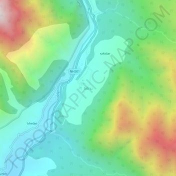
Name: lidru topographic map, elevation, terrain.
Location: lidru, Pahalgam, Anantnag District, Jammu and Kashmir, India (33.94765 75.29766 33.98765 75.33766)
Average elevation: 7,867 ft
Minimum elevation: 6,430 ft
Maximum elevation: 11,079 ft
Other topographic maps
Click on a map to view its topography, its elevation and its terrain.
kolur
India > Jammu and Kashmir > Pahalgam
kolur, Pahalgam, Anantnag District, Jammu and Kashmir, India
Average elevation: 6,617 ft
Aru
India > Jammu and Kashmir > Pahalgam
Aru, Pahalgam, Anantnag District, Jammu and Kashmir, India
Average elevation: 9,068 ft
Panchtarni
India > Jammu and Kashmir > Pahalgam
Panchtarni, Pahalgam, Anantnag District, Jammu and Kashmir, India
Average elevation: 12,792 ft