Geolocate

Baudenasca topographic map

Click on the map to display elevation.

About this map

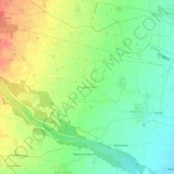
Name: Baudenasca topographic map, elevation, terrain.

Location: Baudenasca, Pinerolo, Torino, Piemonte, Italia (44.83679 7.36212 44.87679 7.40212)

Average elevation: 1,040 ft

Minimum elevation: 958 ft

Maximum elevation: 1,148 ft

Gear up for your next adventure:

🌡️Portable Weather Meter - Track weather conditions on the trail
🧢Sun Protection Hats - Wide-brimmed and UPF-rated hats for high-altitude sun safety
Solar GPS Watches - Advanced multisport watches with built-in topographic maps
GPS Sports Watch - GPS watch for running, hiking and training
📡GPS Antenna Upgrade - Enhance GPS reception in remote terrain

As an Amazon Associate, this site earns from qualifying purchases at no extra cost to you.