Geolocate

Tablones topographic map

Click on the map to display elevation.

About this map

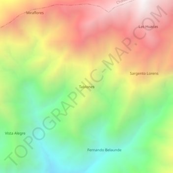
Name: Tablones topographic map, elevation, terrain.

Location: Tablones, Yamango, Morropón, Piura, Perú (-5.12039 -79.75169 -5.08039 -79.71169)

Average elevation: 7,556 ft

Minimum elevation: 4,911 ft

Maximum elevation: 10,548 ft

Gear up for your next adventure:

🗺️NatGeo Topo Maps - High-quality waterproof printed topographic maps of US Parks
🪶Trail Camera - Capture wildlife on your hikes
📱Heavy-Duty Phone Cases - Drop-proof and waterproof protection for outdoor navigation
📌Outdoor GPS Map App - Apps and devices for digital topographic navigation
📚USA Hiking Guide Books - Top trail guides and map books

As an Amazon Associate, this site earns from qualifying purchases at no extra cost to you.