
Thank you for supporting this site ❤️
Make a donation
Make a donation
Gear up for your next adventure:
As an Amazon Associate, this site earns from qualifying purchases at no extra cost to you.
Bordoli topographic map
Click on the map to display elevation.
Thank you for supporting this site ❤️
Make a donation
Make a donation
Gear up for your next adventure:
As an Amazon Associate, this site earns from qualifying purchases at no extra cost to you.
About this map
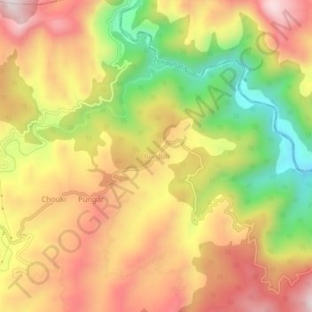
Name: Bordoli topographic map, elevation, terrain.
Location: Bordoli, Champawat, Uttarakhand, 262524, India (29.32586 80.10741 29.36586 80.14741)
Average elevation: 5,180 ft
Minimum elevation: 4,094 ft
Maximum elevation: 6,066 ft
Thank you for supporting this site ❤️
Make a donation
Make a donation
Gear up for your next adventure:
As an Amazon Associate, this site earns from qualifying purchases at no extra cost to you.