
拉根乡 topographic map
Interactive map
Click on the map to display elevation.
About this map
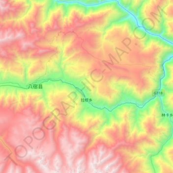
Name: 拉根乡 topographic map, elevation, terrain.
Location: 拉根乡, 八宿县, 昌都市, 西藏自治区, 中国 (29.91264 96.93209 30.19692 97.18715)
Average elevation: 14,009 ft
Minimum elevation: 8,924 ft
Maximum elevation: 19,009 ft
Other topographic maps
Click on a map to view its topography, its elevation and its terrain.