Geolocate

Requexo topographic map

Click on the map to display elevation.

About this map
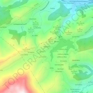
Name: Requexo topographic map, elevation, terrain.

Location: Requexo, Morcín, Asturias, 33140, España (43.27039 -5.94663 43.31039 -5.90663)

Average elevation: 1,460 ft

Minimum elevation: 364 ft

Maximum elevation: 3,399 ft

Other topographic maps

Click on a map to view its topography, its elevation and its terrain.

Peñerudes

España > Asturias > Morcín

Average elevation: 2,165 ft

Gear up for your next adventure:

🥇GPS Hiking Watch - Multi‑sport GPS watch with navigation and trail tracking
📌Outdoor GPS Map App - Apps and devices for digital topographic navigation
🧴Hand Sanitizer - Keep hands clean while hiking
🧭Map Reading Tools - Tools and kits for map navigation
🏕️Family Camping Gear - Essentials for group camping trips

As an Amazon Associate, this site earns from qualifying purchases at no extra cost to you.