
Make a donation
Gear up for your next adventure:
As an Amazon Associate, this site earns from qualifying purchases at no extra cost to you.
Pie de Puerto topographic map
Click on the map to display elevation.
Make a donation
Gear up for your next adventure:
As an Amazon Associate, this site earns from qualifying purchases at no extra cost to you.
About this map
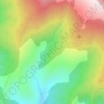
Name: Pie de Puerto topographic map, elevation, terrain.
Average elevation: 4,629 ft
Minimum elevation: 3,501 ft
Maximum elevation: 6,060 ft
Make a donation
Gear up for your next adventure:
As an Amazon Associate, this site earns from qualifying purchases at no extra cost to you.
Other topographic maps
Click on a map to view its topography, its elevation and its terrain.
Borau
España > Aragón > La Jacetania > Borau
Las huellas de ese esplendor están presentes en todo el casco urbano, en las fachadas de algunos de sus edificios y en la entidad de muchas de las casas que han sido restauradas con un gusto exquisito. Está situado a 1.008 metros de altitud y lo atraviesa el río Lubierre, afluente del Aragón. En la entrada…
Average elevation: 4,324 ft