Geolocate

Bemidji topographic map

Click on the map to display elevation.

About this map

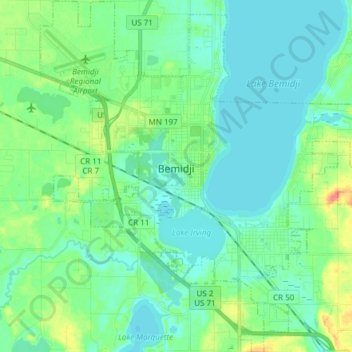
Name: Bemidji topographic map, elevation, terrain.

Location: Bemidji, Beltrami County, Minnesota, 56601, United States (47.42466 -94.94922 47.52695 -94.79998)

Average elevation: 1,368 ft

Minimum elevation: 1,332 ft

Maximum elevation: 1,486 ft

Beltrami County trails, hiking, mountain biking, running and outdoor activities

Other topographic maps

Click on a map to view its topography, its elevation and its terrain.

Bemidji

United States > Minnesota > Beltrami County > Bemidji

Average elevation: 1,365 ft

Gear up for your next adventure:

🧭Hiking Compass - Precision compass for reliable navigation in the wilderness
🪶Trail Camera - Capture wildlife on your hikes
📡GPS Antenna Upgrade - Enhance GPS reception in remote terrain
🛏️Cold Weather Sleeping Bag - Warm sleeping bag for cold conditions
🌧️Backpack Rain Cover - Keep gear dry in wet weather

As an Amazon Associate, this site earns from qualifying purchases at no extra cost to you.