Geolocate

Krinitz topographic map

Click on the map to display elevation.

About this map

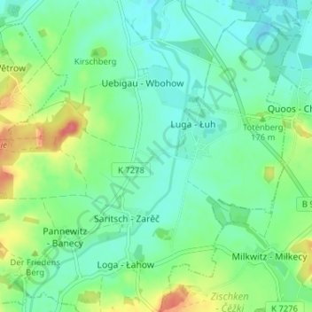
Name: Krinitz topographic map, elevation, terrain.

Location: Krinitz, Luga, Neschwitz, Bautzen, Sachsen, Deutschland (51.22357 14.31787 51.26357 14.35787)

Average elevation: 548 ft

Minimum elevation: 486 ft

Maximum elevation: 692 ft

Gear up for your next adventure:

🧣Hiking Neck Gaiter - Multi‑use neck protection for outdoor weather
🧷Carabiner Set - Durable clips for gear attachment
🪶LED Camping Lantern - Bright lantern for camp lighting
🏥Hiking First Aid Kits - Comprehensive medical kits for remote trail injuries
📷Action Cameras - Rugged cameras to document your journeys across rugged terrain

As an Amazon Associate, this site earns from qualifying purchases at no extra cost to you.