
Gemaal topographic map
Interactive map
Click on the map to display elevation.
About this map
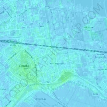
Name: Gemaal topographic map, elevation, terrain.
Location: Gemaal, Gouda, Zuid-Holland, Nederland (52.01452 4.72281 52.01455 4.72287)
Average elevation: 3 ft
Minimum elevation: -13 ft
Maximum elevation: 20 ft
Other topographic maps
Click on a map to view its topography, its elevation and its terrain.
Broekhuizen
Nederland > Zuid-Holland > Gouda
Broekhuizen, Gouda, Zuid-Holland, Nederland, 2809 JP, Nederland
Average elevation: -3 ft
Gouwekanaal
Nederland > Zuid-Holland > Gouda
Gouwekanaal, Gouda, Zuid-Holland, Nederland, 2809NB, Nederland
Average elevation: -3 ft
Hollandsche IJssel
Nederland > Zuid-Holland > Gouda
Hollandsche IJssel, Gouda, Zuid-Holland, Nederland, 2808PB, Nederland
Average elevation: 0 ft