Faunce topographic map
Interactive map
Click on the map to display elevation.
About this map
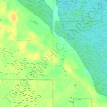
Name: Faunce topographic map, elevation, terrain.
Location: Faunce, Lake of the Woods County, Minnesota, United States (48.57303 -94.97245 48.61303 -94.93245)
Average elevation: 1,273 ft
Minimum elevation: 1,240 ft
Maximum elevation: 1,312 ft
Other topographic maps
Click on a map to view its topography, its elevation and its terrain.
Baudette
United States > Minnesota > Lake of the Woods County
Baudette, Lake of the Woods County, Minnesota, United States
Average elevation: 1,086 ft
Angle Inlet
United States > Minnesota > Lake of the Woods County
Angle Inlet, Lake of the Woods County, Minnesota, 56711, United States
Average elevation: 1,073 ft
Williams
United States > Minnesota > Lake of the Woods County
Williams, Lake of the Woods County, Minnesota, United States
Average elevation: 1,155 ft
Baudette
United States > Minnesota > Lake of the Woods County > Baudette > Baudette
Baudette, Lake of the Woods County, Minnesota, United States
Average elevation: 1,086 ft