
Jamuniya topographic map
Interactive map
Click on the map to display elevation.
About this map
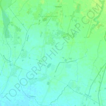
Name: Jamuniya topographic map, elevation, terrain.
Location: Jamuniya, Kabilasi, Sarlahi, Province #2, Nepal (26.91192 85.50157 26.95814 85.54525)
Average elevation: 308 ft
Minimum elevation: 289 ft
Maximum elevation: 331 ft
Other topographic maps
Click on a map to view its topography, its elevation and its terrain.