
Thank you for supporting this site ❤️
Make a donation
Make a donation
Gear up for your next adventure:
As an Amazon Associate, this site earns from qualifying purchases at no extra cost to you.
Laikot topographic map
Click on the map to display elevation.
Thank you for supporting this site ❤️
Make a donation
Make a donation
Gear up for your next adventure:
As an Amazon Associate, this site earns from qualifying purchases at no extra cost to you.
About this map
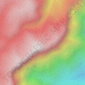
Name: Laikot topographic map, elevation, terrain.
Location: Laikot, Kangpoki, Kangpokpi, Manipur, India (25.35856 93.90078 25.35866 93.90088)
Average elevation: 7,844 ft
Minimum elevation: 5,102 ft
Maximum elevation: 9,236 ft
Thank you for supporting this site ❤️
Make a donation
Make a donation
Gear up for your next adventure:
As an Amazon Associate, this site earns from qualifying purchases at no extra cost to you.