
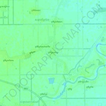
Phum Tuol Sambour topographic map
Interactive map
Click on the map to display elevation.
About this map
Name: Phum Tuol Sambour topographic map, elevation, terrain.
Average elevation: 39 ft
Minimum elevation: 23 ft
Maximum elevation: 52 ft
Other topographic maps
Click on a map to view its topography, its elevation and its terrain.
Phum Thormmatray
Cambodia > Phnom Penh > Khan Dangkao
Phum Thormmatray, Khan Dangkao, Phnom Penh, 120504, Cambodia
Average elevation: 36 ft