
Thank you for supporting this site ❤️
Make a donation
Make a donation
Gear up for your next adventure:
As an Amazon Associate, this site earns from qualifying purchases at no extra cost to you.
Vembanur topographic map
Click on the map to display elevation.
Thank you for supporting this site ❤️
Make a donation
Make a donation
Gear up for your next adventure:
As an Amazon Associate, this site earns from qualifying purchases at no extra cost to you.
About this map
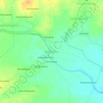
Name: Vembanur topographic map, elevation, terrain.
Location: Vembanur, Manapparai, Tiruchirappalli, Tamil Nadu, India (10.46636 78.54451 10.50636 78.58451)
Average elevation: 489 ft
Minimum elevation: 446 ft
Maximum elevation: 551 ft
Thank you for supporting this site ❤️
Make a donation
Make a donation
Gear up for your next adventure:
As an Amazon Associate, this site earns from qualifying purchases at no extra cost to you.