
El Cinco topographic map
Click on the map to display elevation.
About this map
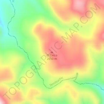
Name: El Cinco topographic map, elevation, terrain.
Location: El Cinco, Temósachic, Chihuahua, Mexico (28.31066 -108.15506 28.31076 -108.15496)
Average elevation: 8,245 ft
Minimum elevation: 7,552 ft
Maximum elevation: 8,911 ft