Geolocate

Mount Lena topographic map

Click on the map to display elevation.

About this map

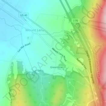
Name: Mount Lena topographic map, elevation, terrain.

Location: Mount Lena, Washington County, Maryland, United States (39.54300 -77.63600 39.56382 -77.60766)

Average elevation: 797 ft

Minimum elevation: 525 ft

Maximum elevation: 1,388 ft

Washington County trails, hiking, mountain biking, running and outdoor activities

Gear up for your next adventure:

🧢Outdoor Hiking Hat - Sun protection hat for outdoor explorers
🔭Stargazing Telescopes - Perfect for camping in low-light pollution areas shown on maps
Backpacking Tents - Weight-optimized shelters for multi-day topographic surveys
GPS Sports Watch - GPS watch for running, hiking and training
🛏️Cold Weather Sleeping Bag - Warm sleeping bag for cold conditions

As an Amazon Associate, this site earns from qualifying purchases at no extra cost to you.