
Thank you for supporting this site ❤️
Make a donation
Make a donation
Gear up for your next adventure:
As an Amazon Associate, this site earns from qualifying purchases at no extra cost to you.
Ventanilla topographic map
Click on the map to display elevation.
Thank you for supporting this site ❤️
Make a donation
Make a donation
Gear up for your next adventure:
As an Amazon Associate, this site earns from qualifying purchases at no extra cost to you.
About this map
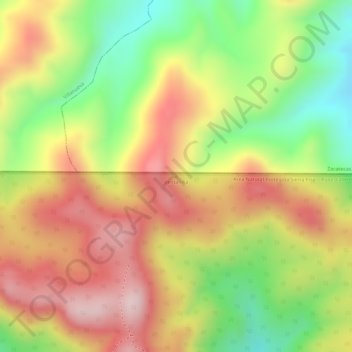
Name: Ventanilla topographic map, elevation, terrain.
Location: Ventanilla, San José de Gracia, Aguascalientes, Mexico (22.29113 -102.60388 22.29123 -102.60378)
Average elevation: 9,308 ft
Minimum elevation: 8,717 ft
Maximum elevation: 9,793 ft
Thank you for supporting this site ❤️
Make a donation
Make a donation
Gear up for your next adventure:
As an Amazon Associate, this site earns from qualifying purchases at no extra cost to you.