
Toril topographic map
Click on the map to display elevation.
About this map
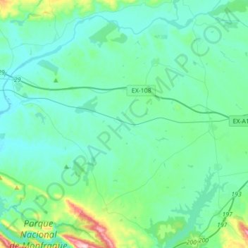
Name: Toril topographic map, elevation, terrain.
Location: Toril, Campo Arañuelo, Cáceres, Extremadura, 10591, Spain (39.81707 -6.02285 39.96208 -5.74823)
Average elevation: 896 ft
Minimum elevation: 722 ft
Maximum elevation: 1,893 ft