
Thank you for supporting this site ❤️
Make a donation
Make a donation
Gear up for your next adventure:
As an Amazon Associate, this site earns from qualifying purchases at no extra cost to you.
Arques topographic map
Click on the map to display elevation.
Thank you for supporting this site ❤️
Make a donation
Make a donation
Gear up for your next adventure:
As an Amazon Associate, this site earns from qualifying purchases at no extra cost to you.
About this map
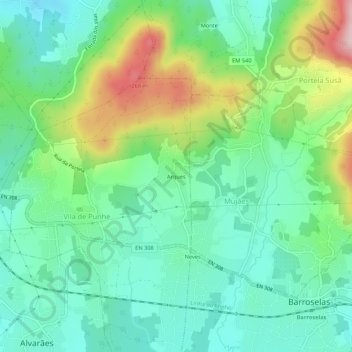
Name: Arques topographic map, elevation, terrain.
Location: Arques, Vila de Punhe, Viana do Castelo, 4905-643, Portugal (41.64145 -8.74167 41.68145 -8.70167)
Average elevation: 348 ft
Minimum elevation: 69 ft
Maximum elevation: 994 ft
Thank you for supporting this site ❤️
Make a donation
Make a donation
Gear up for your next adventure:
As an Amazon Associate, this site earns from qualifying purchases at no extra cost to you.