
Thank you for supporting this site ❤️
Make a donation
Make a donation
Gear up for your next adventure:
As an Amazon Associate, this site earns from qualifying purchases at no extra cost to you.
Sadarwala topographic map
Click on the map to display elevation.
Thank you for supporting this site ❤️
Make a donation
Make a donation
Gear up for your next adventure:
As an Amazon Associate, this site earns from qualifying purchases at no extra cost to you.
About this map
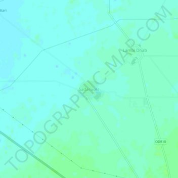
Name: Sadarwala topographic map, elevation, terrain.
Location: Sadarwala, Muktsar Tahsil, Sri Muktsar Sahib, Punjab, India (30.49837 74.46239 30.53837 74.50239)
Average elevation: 640 ft
Minimum elevation: 630 ft
Maximum elevation: 656 ft
Thank you for supporting this site ❤️
Make a donation
Make a donation
Gear up for your next adventure:
As an Amazon Associate, this site earns from qualifying purchases at no extra cost to you.