
Thank you for supporting this site ❤️
Make a donation
Make a donation
Gear up for your next adventure:
As an Amazon Associate, this site earns from qualifying purchases at no extra cost to you.
Xoloxtla topographic map
Click on the map to display elevation.
Thank you for supporting this site ❤️
Make a donation
Make a donation
Gear up for your next adventure:
As an Amazon Associate, this site earns from qualifying purchases at no extra cost to you.
About this map
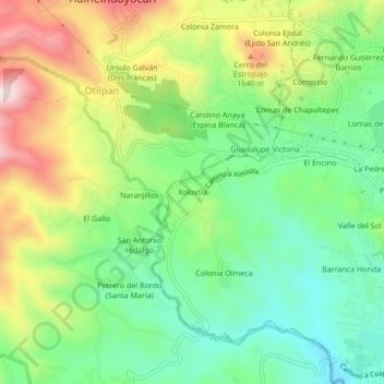
Name: Xoloxtla topographic map, elevation, terrain.
Location: Xoloxtla, Xalapa-Enríquez, Xalapa, Veracruz, 91018, México (19.52690 -96.98637 19.56690 -96.94637)
Average elevation: 4,862 ft
Minimum elevation: 4,354 ft
Maximum elevation: 5,666 ft
Thank you for supporting this site ❤️
Make a donation
Make a donation
Gear up for your next adventure:
As an Amazon Associate, this site earns from qualifying purchases at no extra cost to you.