
Make a donation
Gear up for your next adventure:
As an Amazon Associate, this site earns from qualifying purchases at no extra cost to you.
Hampton Roads topographic map
Click on the map to display elevation.
Make a donation
Gear up for your next adventure:
As an Amazon Associate, this site earns from qualifying purchases at no extra cost to you.
Hampton Roads
The geology and topography of the Hampton Roads region is influenced by the Chesapeake Bay impact crater, one of three factors contributing to the sinking of Hampton Roads at a rate between 15 and 23 centimeters (5.9 and 9.1 inches) per century.
Make a donation
Gear up for your next adventure:
As an Amazon Associate, this site earns from qualifying purchases at no extra cost to you.
About this map
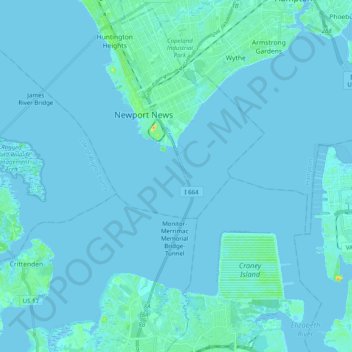
Name: Hampton Roads topographic map, elevation, terrain.
Average elevation: 7 ft
Minimum elevation: -13 ft
Maximum elevation: 112 ft
Isle of Wight County trails, hiking, mountain biking, running and outdoor activities
Make a donation
Gear up for your next adventure:
As an Amazon Associate, this site earns from qualifying purchases at no extra cost to you.