
Cole Henley topographic map
Click on the map to display elevation.
About this map
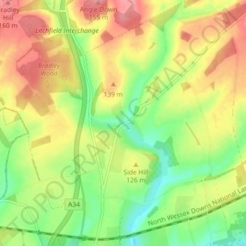
Name: Cole Henley topographic map, elevation, terrain.
Average elevation: 387 ft
Minimum elevation: 246 ft
Maximum elevation: 531 ft
Other topographic maps
Click on a map to view its topography, its elevation and its terrain.
Winterhill Plantation
United Kingdom > England > Hampshire > Basingstoke and Deane > Whitchurch > Wells-In-The-Field
Average elevation: 328 ft