
Thank you for supporting this site ❤️
Make a donation
Make a donation
Gear up for your next adventure:
As an Amazon Associate, this site earns from qualifying purchases at no extra cost to you.
Yanarumi topographic map
Click on the map to display elevation.
Thank you for supporting this site ❤️
Make a donation
Make a donation
Gear up for your next adventure:
As an Amazon Associate, this site earns from qualifying purchases at no extra cost to you.
About this map
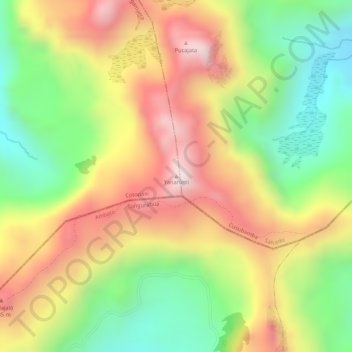
Name: Yanarumi topographic map, elevation, terrain.
Location: Yanarumi, Angamarca, Pujilí, Cotopaxi, Ecuador (-1.14176 -78.79004 -1.14166 -78.78994)
Average elevation: 13,740 ft
Minimum elevation: 12,831 ft
Maximum elevation: 14,610 ft
Thank you for supporting this site ❤️
Make a donation
Make a donation
Gear up for your next adventure:
As an Amazon Associate, this site earns from qualifying purchases at no extra cost to you.