
Bannari topographic map
Click on the map to display elevation.
About this map
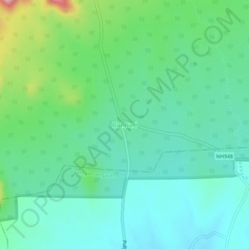
Name: Bannari topographic map, elevation, terrain.
Location: Bannari, Thalavadi, Erode District, Tamil Nadu, 638451, India (11.53281 77.11888 11.57281 77.15888)
Average elevation: 1,135 ft
Minimum elevation: 965 ft
Maximum elevation: 1,650 ft