
Basni topographic map
Interactive map
Click on the map to display elevation.
About this map
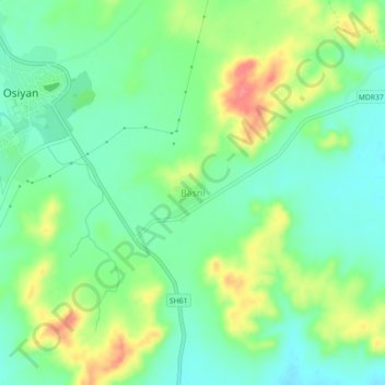
Name: Basni topographic map, elevation, terrain.
Location: Basni, Osian Tehsil, Jodhpur(Rural) District, Rajasthan, India (26.69506 72.90881 26.73506 72.94881)
Average elevation: 1,132 ft
Minimum elevation: 1,047 ft
Maximum elevation: 1,283 ft