
Potato Hill Civil War Battlefield Park topographic map
Interactive map
Click on the map to display elevation.
About this map
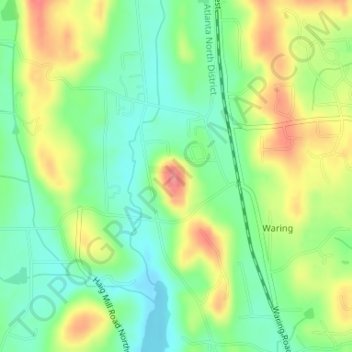
Name: Potato Hill Civil War Battlefield Park topographic map, elevation, terrain.
Average elevation: 843 ft
Minimum elevation: 732 ft
Maximum elevation: 997 ft
Other topographic maps
Click on a map to view its topography, its elevation and its terrain.
Dalton
United States > Georgia > Whitfield County > Dalton > Dalton
Dalton, Whitfield County, Georgia, 30720, United States
Average elevation: 843 ft