Geolocate

SECTOR 79 topographic map

Click on the map to display elevation.

👉 Easily get elevation data in JSON, GeoTIFF and KML formats using Elevation API
Thank you for supporting this site ❤️
Make a donation

About this map

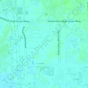
Name: SECTOR 79 topographic map, elevation, terrain.

Location: SECTOR 79, Faridabad, Faridabad District, Haryana, India (28.37417 77.35029 28.38738 77.36425)

Average elevation: 663 ft

Minimum elevation: 653 ft

Maximum elevation: 673 ft

Gear up for your next adventure:

❄️Traction Cleats - Prevent slips on icy trails during winter hikes
🛌Ultralight Sleeping Bags - Compact down bags for cold nights in the wilderness
🏥Hiking First Aid Kits - Comprehensive medical kits for remote trail injuries
🛡️Bear Spray Outdoor - Protection in bear country hikes
🛰️Handheld GPS Units - Professional satellite navigators for precise backcountry mapping

As an Amazon Associate, this site earns from qualifying purchases at no extra cost to you.