
Hei topographic map
Interactive map
Click on the map to display elevation.
About this map
Name: Hei topographic map, elevation, terrain.
Average elevation: 89 ft
Minimum elevation: 43 ft
Maximum elevation: 115 ft
Other topographic maps
Click on a map to view its topography, its elevation and its terrain.
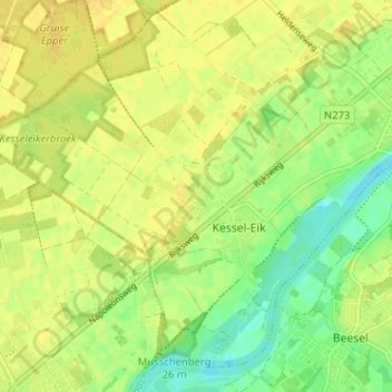
Kessel-Eik
Nederland > Limburg > Kessel-Eik
Kessel-Eik, Limburg, Nederland, 5995NP, Nederland
Average elevation: 85 ft