
Nimrud topographic map
Click on the map to display elevation.
Nimrud
Subsequent work was by the Directorate of Antiquities of the Republic of Iraq (1956, 1959–60, 1969–78 and 1982–92), the Polish Centre of Mediterranean Archaeology University of Warsaw directed by Janusz Meuszyński (1974–76), Paolo Fiorina (1987–89) with the Centro Ricerche Archeologiche e Scavi di Torino who concentrated mainly on Fort Shalmaneser, and John Curtis (1989). In 1974 to his untimely death in 1976 Janusz Meuszyński, the director of the Polish project, with the permission of the Iraqi excavation team, had the whole site documented on film—in slide film and black-and-white print film. Every relief that remained in situ, as well as the fallen, broken pieces that were distributed in the rooms across the site were photographed. Meuszyński also arranged with the architect of his project, Richard P. Sobolewski, to survey the site and record it in plan and in elevation. As a result, the entire relief compositions were reconstructed, taking into account the presumed location of the fragments that were scattered around the world.
About this map
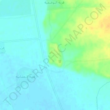
Name: Nimrud topographic map, elevation, terrain.
Average elevation: 666 ft
Minimum elevation: 640 ft
Maximum elevation: 738 ft