
Mbanza-Ngungu topographic map
Interactive map
Click on the map to display elevation.
About this map
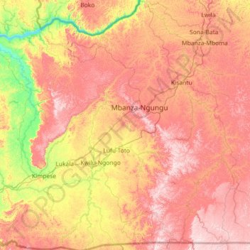
Name: Mbanza-Ngungu topographic map, elevation, terrain.
Location: Mbanza-Ngungu, Kongo-Central, Democratische Republiek Congo (-5.87822 14.31901 -4.75030 15.25133)
Average elevation: 1,699 ft
Minimum elevation: 581 ft
Maximum elevation: 2,887 ft